 01 / PLATFORM FAMILY
COMPACT & CLOSE-RANGE
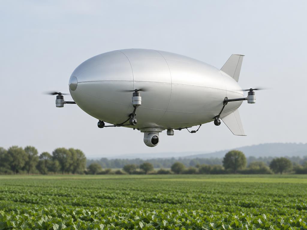
Micro platform
Drone-scale lighter-than-air sensing for precise, local observation with a small operational footprint.
Explore platform
AI-enabled lighter-than-air platforms. Persistent observation. Mission-led engineering.
From a single sensor to a swarm.
A modular family of lighter-than-air platforms, designed around the mission. From close-range sensing to wide-area, distributed observation.
01 / PLATFORM FAMILYDrone-scale lighter-than-air sensing for precise, local observation with a small operational footprint.
Explore platform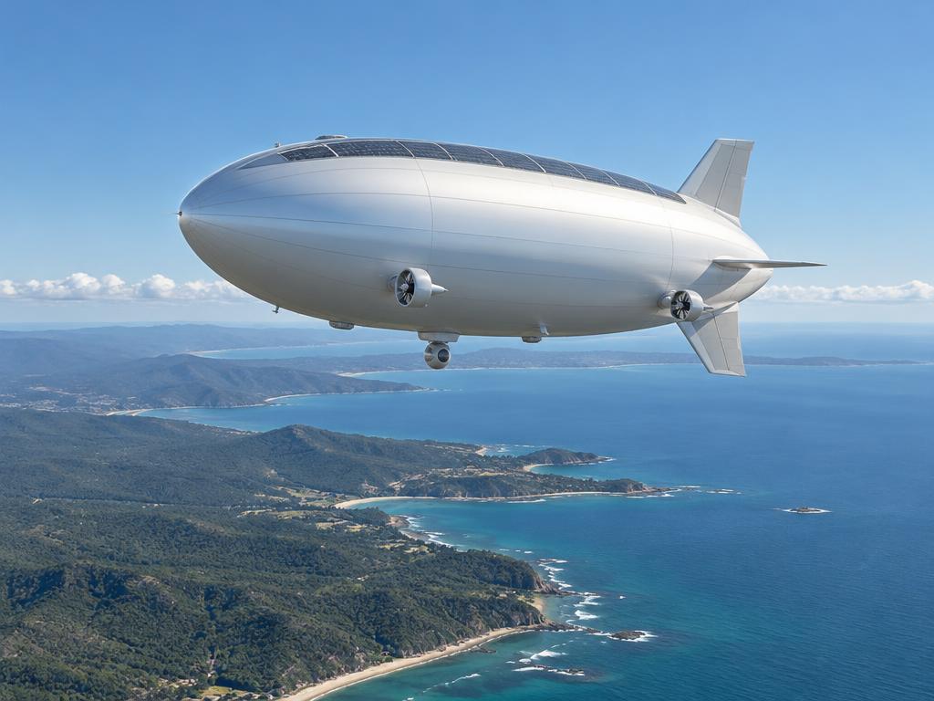 02 / PLATFORM FAMILY
A modular aerial vantage point for regional mapping, infrastructure monitoring, and mission-specific sensing.
Explore platform03 / PLATFORM FAMILYA large-scale pseudo-satellite combining wide-area sensing with deployable drone swarms.
Explore platformAltitude, endurance, payload and swarm capability are sized to each mission in the lab.
We bring commercially available sensing, autonomy, and communications into a cohesive aerial ecosystem. The innovation is in how everything works together.
Inside the technologyStabilised multi-sensor gimbals, thermal imaging, and LiDAR create a richer picture of the world below.
Vision-aided inertial navigation and sensor fusion support operations when satellite signals are unavailable.
Onboard AI and connected drone swarms turn observation into coordinated, mission-specific insight.
Worldwide mission configuration and interactive aerodynamic screening are available in the lab. Configure a mission, read the telemetry, export the report.
Open the live test dashboardAgriculture, biodiversity, climate, and land management. Better data for the environments we depend on.
Coasts, energy networks, infrastructure, and cities. A continuous perspective on a world in motion.
Disaster response, wildfire detection, search and rescue, and lawful government situational awareness.