
Supplier qualification
Obtain current specifications, availability, export conditions and quotations. Confirm interfaces, operating temperatures, power, mass and maintainability for the selected assembly.
Configuration screening for lighter-than-air observation systems, sensing payloads and air–ground integration.
Sixteen mission starting points. Worldwide coordinates. A shared configuration across flight, engineering and ground-integration views.
Tethered mode holds a fixed station: translational speed is zero; wind sets aerodynamic loading. Select Untethered for flight-speed testing.
● Platform · ■ Ground node · circle: camera width · line: command path · track: simulated flight
Imagery: Esri / Maxar / Earthstar · calculated mission telemetry.
A three-dimensional geometry view and reproducible axial drag and power checks, with explicit input assumptions and a gust-speed comparison.
Analytical axial model · ISA density · Sutherland viscosity · 4:1 hull · η 65% · user-entered Cd. Gust cycle: 8 s. Balance: Allen–Perkins body-of-revolution (η 0.6, Cdc 1.2). Cp: Lamb prolate-spheroid potential flow.
Virtual testing resources are optimised to match real-life conditions, giving a confident basis for configuration decisions. They complement, rather than replace, delivery-day testing.
Obtain current specifications, availability, export conditions and quotations. Confirm interfaces, operating temperatures, power, mass and maintainability for the selected assembly.
Use qualified CFD, FEA and hardware-in-the-loop toolchains with documented boundary conditions. Correlate ML surrogates with independent test cases and documented error bounds.
Correlate envelope materials, helium permeability, aerodynamics, propulsion, tether loads, sensor calibration and control performance against measured tests.
Agree the site survey, permissions, acceptance criteria, maintenance, operator training and support. Price, production capacity and lead time follow a supplier-backed configuration and programme plan.
Interfaces and data products follow publicly available standards used across defence and civil programmes: STANAG 4586 for unmanned-system control, STANAG 4609 and MISB ST 0601 for motion imagery and metadata, and Cursor on Target / MAVLink message formats for track and telemetry exchange. Compliance is engineered and verified against the published standard texts — no programme affiliation is claimed.
Virtual and bench testing is structured around the same publicly documented test disciplines used in NATO- and EU-aligned programmes: hardware-in-the-loop avionics rigs, environmental screening (temperature, vibration, ingress) to published MIL-STD-810 and RTCA DO-160 method categories, and link-budget verification against ITU propagation models. Every test protocol, input and tolerance is recorded in the exported report.
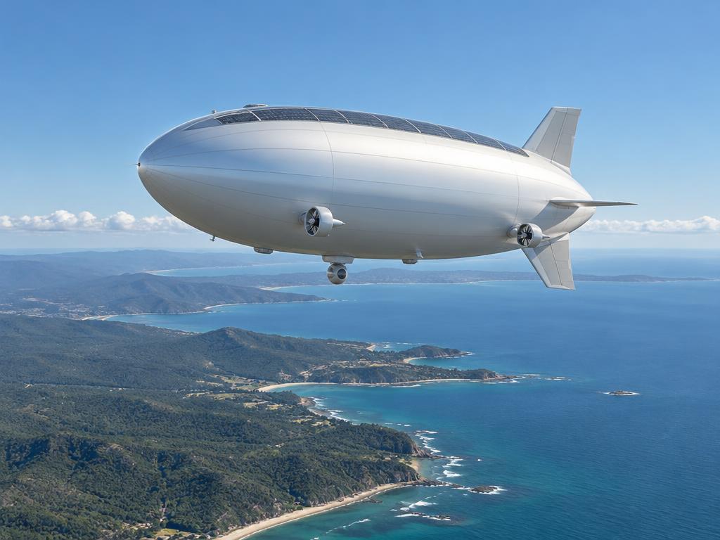
Commercial sensors, radios, compute, propulsion and charging equipment can support an engineered mission system. System integration aligns component interfaces, power and maintenance requirements.
The dashboard addresses initial mass, axial propulsion, battery reserve, camera sampling, reference RF and ground power questions. Terrain, live weather, airworthiness, actual imagery, flight-control dynamics, sensor detection probability and airborne swarm release remain programme-specific validation tasks.
Prepare a mission briefDownload the TODS for every component category used across the platform family, air segment, ground assets and swarm.
Contains lifting gas; air ballonets maintain pressure and trim through the day–night thermal cycle.
Vectored electric propellers or ducted fans for station-keeping and transit against wind.
Stores solar and ground-supplied energy for night operations and peak loads.
Envelope-bonded solar modules supply daytime load and battery charging.
Delivers ground power and fibre data while restraining the platform.
Day zoom camera with thermal imager for detection, tracking and recognition.
Produces 3D point clouds for terrain, canopy, city and infrastructure models.
Measures vegetation health, water quality and mineral signatures.
Profiles CH₄, CO₂, NO₂, O₃ and PM2.5/PM10 for air quality and emissions work.
Runs onboard detection, tracking and change analysis, cutting downlink bandwidth.
Private encrypted IP network between platform, drones and ground without infrastructure.
Beyond-line-of-sight backhaul for untethered and remote operations.
Position and attitude with resilience when satellite navigation is jammed or unavailable.
Trailer- or vehicle-mounted telescopic camera mast with edge analytics and solar power.
Weatherproof dock that launches, recovers and recharges UAVs automatically.
Contact-free wireless charging for drones on vessels and exposed sites.
Containerised power, operations and storage hub for remote deployments.
Stores and delivers helium for inflation and top-up of envelopes.
Close inspection, mapping and relay drones directed by the airborne platform.